![[gpndg]](../New-gpndg.gif)
|
| 2005 |
The 14th Annual GPNDG
August 11-14, 2005
At Three Meadows Group Camp at Dworshak State Park, near Orofino, ID
N 46° 35.586' W 116° 18.028'
|
|
| 2005 |
| Site • Maps • Register • Activities • Rules • Who's Signed Up? • Cabin List |
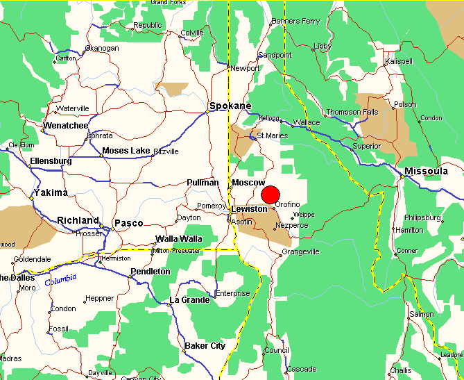
The Idaho panhandle, with parts of Washington, Oregon, and Montana.
The GPNDG site is under the red dot near the center of the map.
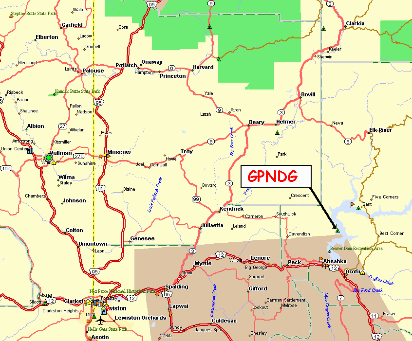
The site is about 12 road miles due east of Cavendish, ID. The turnoff (Freeman Creek RD) is just south of Mile Marker 10, at N 46° 34.042', W 116° 26.122'. Note that the mile markers on P1 seem to run starting at '1' from both ends, with MM 12 in the middle. So if you're coming from Kendrick, it's the 2nd MM 10 that you're looking for.
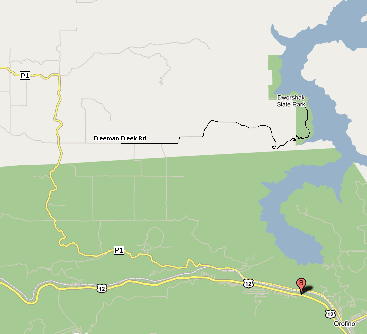
The road is now nicely paved
all the way to the Dworshak State Park entrance.
The park entrance is at
N 46° 34.405',
W 116° 16.734'.
Link back to GPNDG 2005 page...